
Miami Beach, FL, United States

United States

Miami Beach, FL

City overview

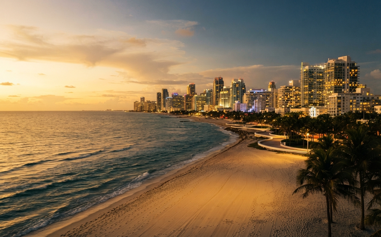
Miami-Dade's beach corridor holds one of the largest and most concentrated Orthodox communities in the United States, strung along a few miles of barrier island. Harding Avenue in Surfside is a genuine kosher restaurant street, with more than twenty kosher establishments in a five-block stretch, and the 41st Street corridor in Mid Beach is a second cluster with its own markets, bakeries and restaurants. Aventura, Sunny Isles Beach and Bay Harbor Islands each add their own shuls and kosher shops. Three working eruvin cover much of the corridor, the beaches are public and walkable, and a visitor can keep a full Shabbos on foot from most of the oceanfront hotels.

ListMap
Map

Eruv

Yes

Three of the corridor's municipalities sit inside working community eruvin, but they are separate eruvin with separate boundaries, and a visitor should know which one they are in. The 33154 eruv covers Surfside, Bal Harbour and Bay Harbor Islands. In Surfside the inner walking paths along the beach are included for carrying and for strollers, but the outer path and the beach itself are not. In Bal Harbour only the inner, western walking path is included, and the pier at Haulover Cut is excluded. In Bay Harbor Islands the entire perimeter of both islands is included, along with the bridge connecting them to Surfside. Indian Creek Island is excluded completely, including its bridge access. Check the eruv's status before Shabbos at eruvstat.us/33154. The Miami Beach eruv is maintained by the Miami Beach Eruv Council, which describes it as one of the largest and best known community eruvin in America. Its southern boundary begins at Alton Road and 1st Street and runs east along the beach dune, with the oceanfront forming the eastern boundary. Loomis Park, the beach walk and boardwalk, Normandy Isle, Normandy Shores, the North Bay Village islands and all of the Sunset Isles are inside it. Pinetree Park, Indian Creek Village and certain areas around the Broad Causeway are outside it. The Council asks that you check its website every Friday for boundary-change alerts, and its status line can be reached by call or text on 305-767-6523. The Miami Beach Eruv Council publishes an official map. A separate Google map of the eruv circulates online; the Council marks it as unaffiliated and not checked or endorsed, so use the official map.

View boundary map

Kosher map of Miami Beach, FL

Pick a place on the map or search an address or hotel to see what is kosher around it.

Frequently asked about Miami Beach, FL